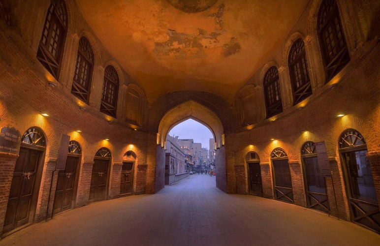
In a Glimpse
Shogran is a hill station in the beautiful Northern Pakistan, situated at a height of 2,362 meters above sea level on the Kaghan Valley’s green plateau. Shogran is 34 kilometers away from Balakot. It is situated in the Khyber Pakhtunkhwa province. Affordably priced hotels and motels are open. Telenor and Zong provide mobile phone services in the region. The locals are pleasant and calm. During the summer, it is mostly inhabited. The vast expanses of lush green lawns attract the majority of tourists. The views of Siri Paye and ‘Musa kaMusala Peak’ from the rest house lawns are spectacular, making it one of the best places to visit.
Weather
Summers and winters are free to tourists at Shogran (although in winter only one hotel is open for stay). The peak season is from June to August each year. The weather is always good during this period. At night, the temperature drops to 3 °C (37 °F) from a high of 20 °C (68 °F). Heavy rains and hailstorms are brought by monsoon winds. Thunderstorms and heavy rains keep the air calm, but they also make it difficult for tourists to get about. Because of the cold, it is recommended that you dress warmly at night. Throughout the winter, the valley is blanketed with snow.
Accessibility
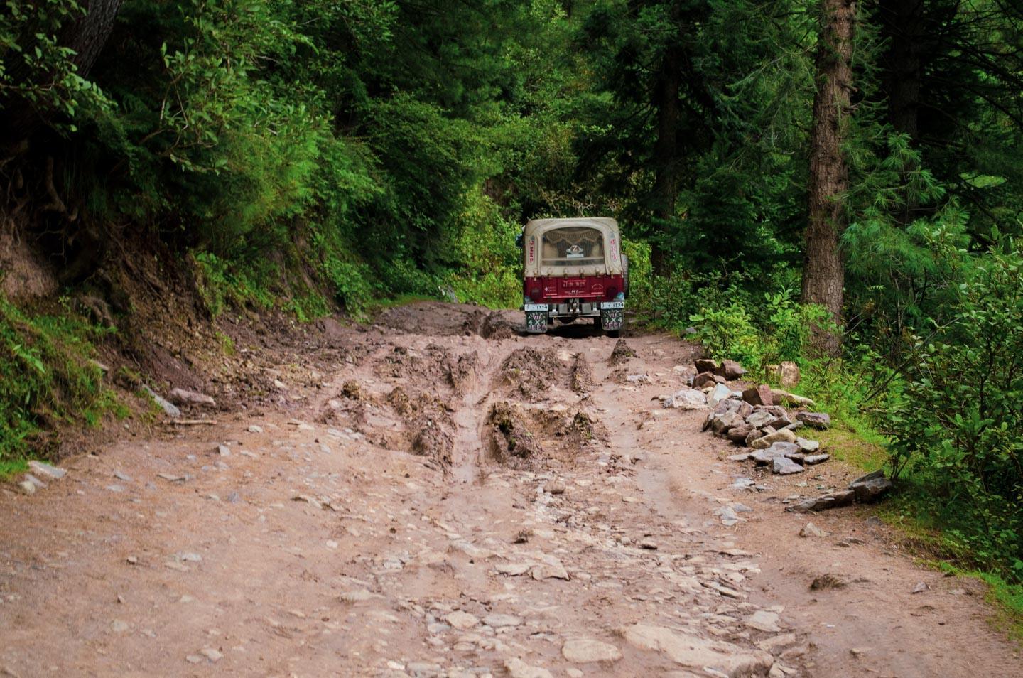
The climb to the top is challenging. It’s a narrow and steep 4×4 gravel path. The path necessitates complete focus. Many egos have been shattered on this journey. It’s not for the faint of heart, and beginner drivers can avoid it. Siri Paye is known for its scenic green mountains and snowcapped peaks, as well as its quiet climate and natural beauty.
This road should not be driven in bad weather. Winds from the monsoon bring heavy rains and the occasional hail storm. Thunderstorms and heavy rains keep the air calm, but they also make it difficult for tourists to get about. With such a high summit height, it is prone to winter snowfalls, and the road can be blocked at any time if the access is not cleared of snow. Because of the cold, it is recommended that you dress warmly at night. Throughout the winter, the valley is blanketed with snow.
The road is difficult to navigate in the Kaghan Valley. This is a mountain road with hairpin curves and dangerous dropoffs, so drive carefully. A few twists are enough to make your hair stand on end. The trail is very difficult. The climb begins at 1.502m above sea level in Kiwai and lasts 13.8 km. The elevation gain is 1.556 meters over this stretch. The average gradient is 11.2%, with some parts reaching 15%.
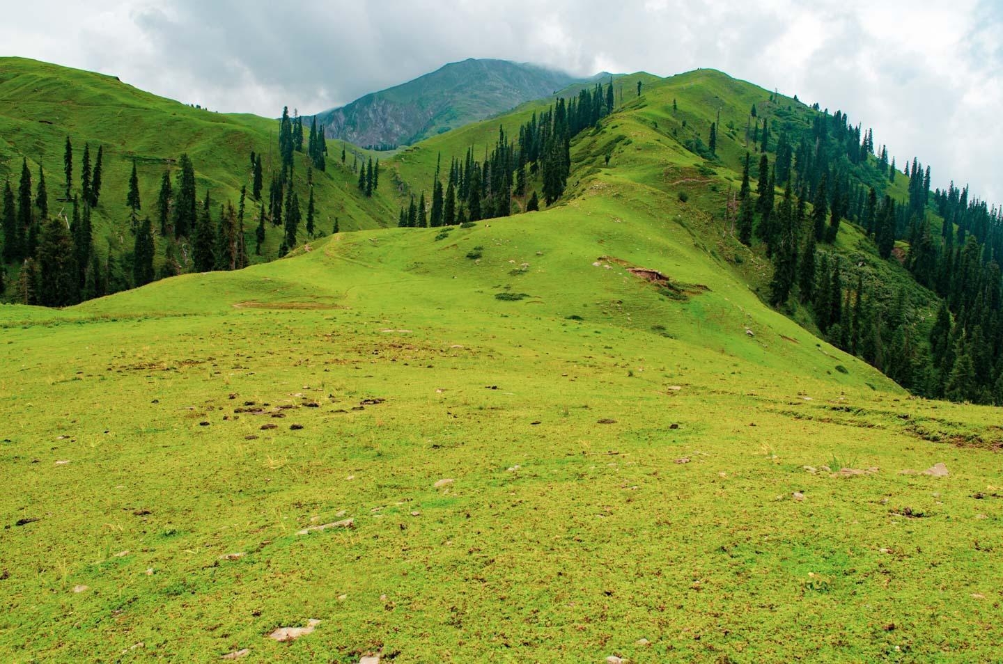
Siri Paaye Meadows
It is mandatory to drive up the rough jeep track to the Paye Meadows, which sits pretty among the clouds at 10,500 feet, while in Shogran (3,200 meters.). This 6 km. perilous, thrilling, and (for some) jaw-clenching drive up steep hairpin turn is an adventure in and of itself – and one you will not soon forget. Fitter tourists should skip the jeeps and go for a 2 to 3-hour walk up the lush pine forest trail instead.
The jeep ride up to the Siri plateau, with its nice little pond (or pool, as some call it) and dilapidated forest department hut, where you can sit on the veranda, will take you about 45 minutes. After another 15 minutes or so of driving, you’ll arrive at your final destination: the stunning Paye meadows, which roll slowly and exquisitely up to the majestic Makra Peak.
Once you’ve arrived at Paye, take leisurely walks through the meadows, pack a picnic lunch, and take your time taking in the breathtaking views. For most days, the weather will change quickly at the top, and rain falls in quickly and heavily with little notice in the late afternoon or early evening. So bring extra jackets with you and return to Shogran with plenty of time before sunset. Keep in mind that the descent will take just as long as the ascent.
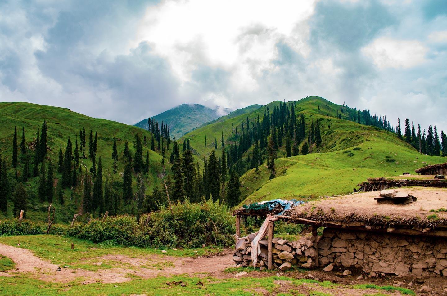
From early summer to late autumn, Siri and Paye are only accessible by jeep (May to November). During the winter and spring months, the trail is fully and deeply snowed in, though it is possible to hike up with proper equipment. To put any rumors to rest, Sar (hence Sari or Siri) means ‘Lake’ in Hindko, the local language, and ‘Paya’ (or Paye) is a high grazing field.
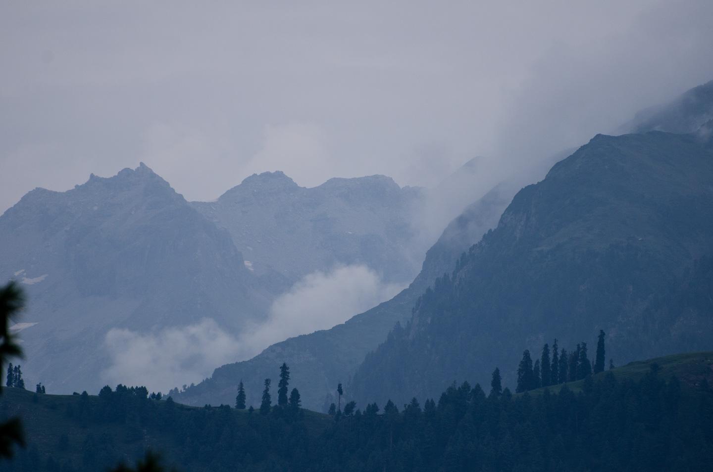
Makra Peak
The Makra (Spider) mountain, at 12,746 feet (3,885 meters), may not be as high as its more powerful cousins in Northern Pakistan, but that is a blessing in this case. The 2 to 2.5-hour hike from the meadows to the summit of Makra Peak is relatively easy in the summers, with the peak rising only about 2,200 feet above Paye, making the summit a common target for amateur trekkers. Climbing through knee-deep snow in the Spring/Autumn is also feasible and often successful, but it is certainly a more strenuous undertaking. Visitors who wish to climb to the summit should schedule their hike so that they return to Paye before sunset. Hikers have gotten lost in the dark on the way down in the past, which has had significant consequences.
Paprang and Shinkiari Hut
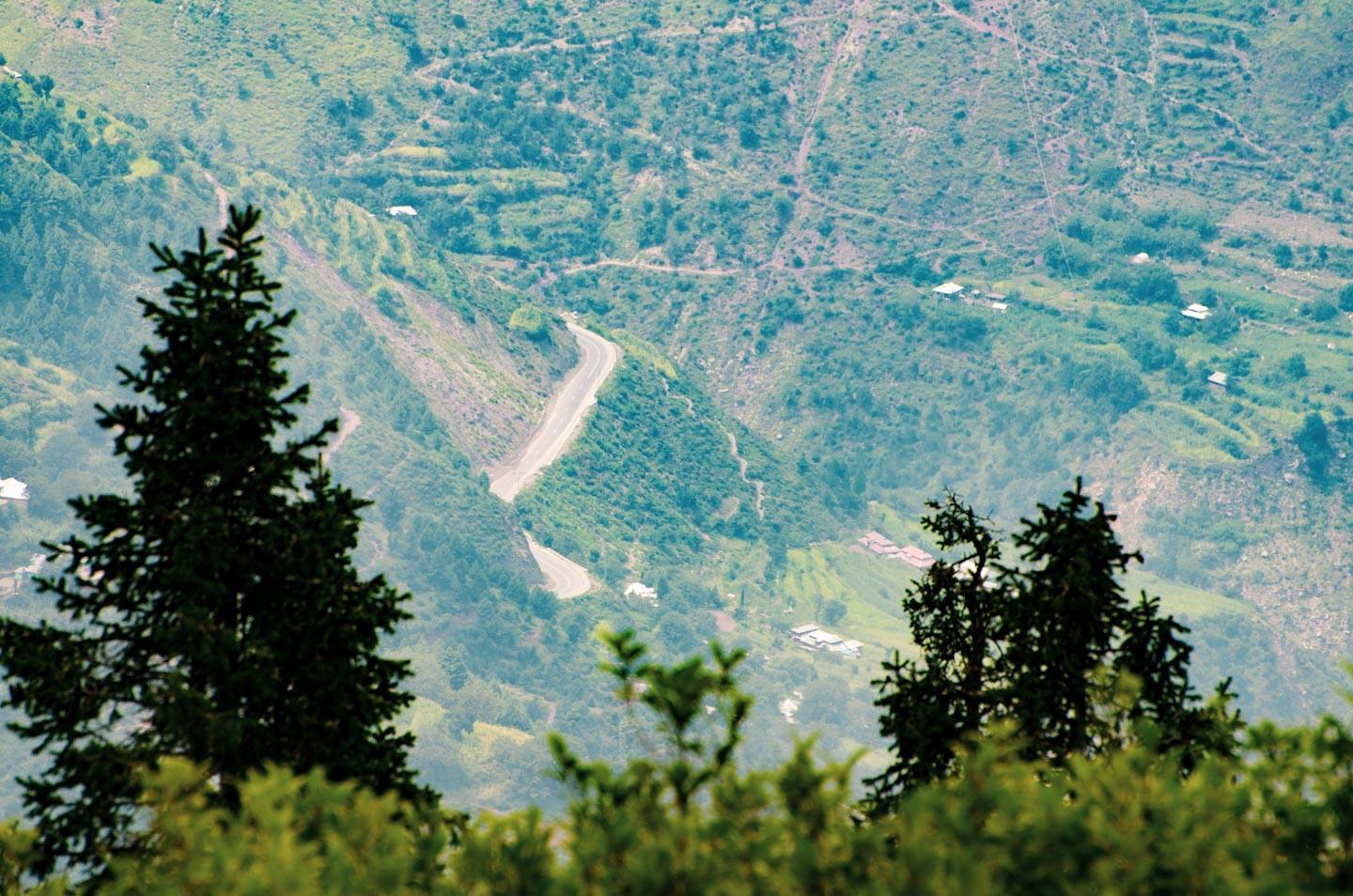
The relatively flat and simple 6 km walk from Shogran to Paprang is ideal for visitors who want to appreciate nature without exerting themselves too much.
The jeep track to Paprang runs south of Shogran, almost horizontally, across beautiful forested mountainsides and truly refreshing nature. You’ll pass a couple of lovely streams along the way, as well as glaciers if you visit before mid-June. At a leisurely walking speed, it should take you about 1.5 hours to reach Paprang.