Zalzala Koh Island: A Gem in the Ocean’s Heart
Zalzala Island, famously known as Earthquake Island, is a Mysterical Destination that Amazed the World.
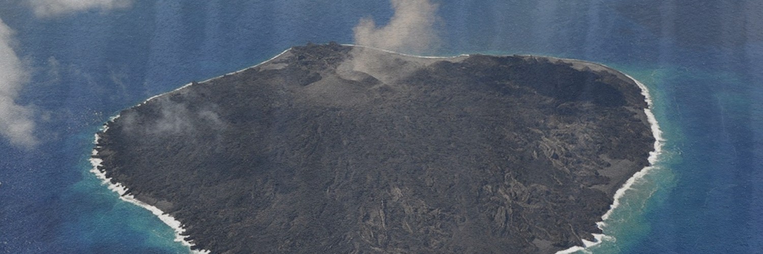
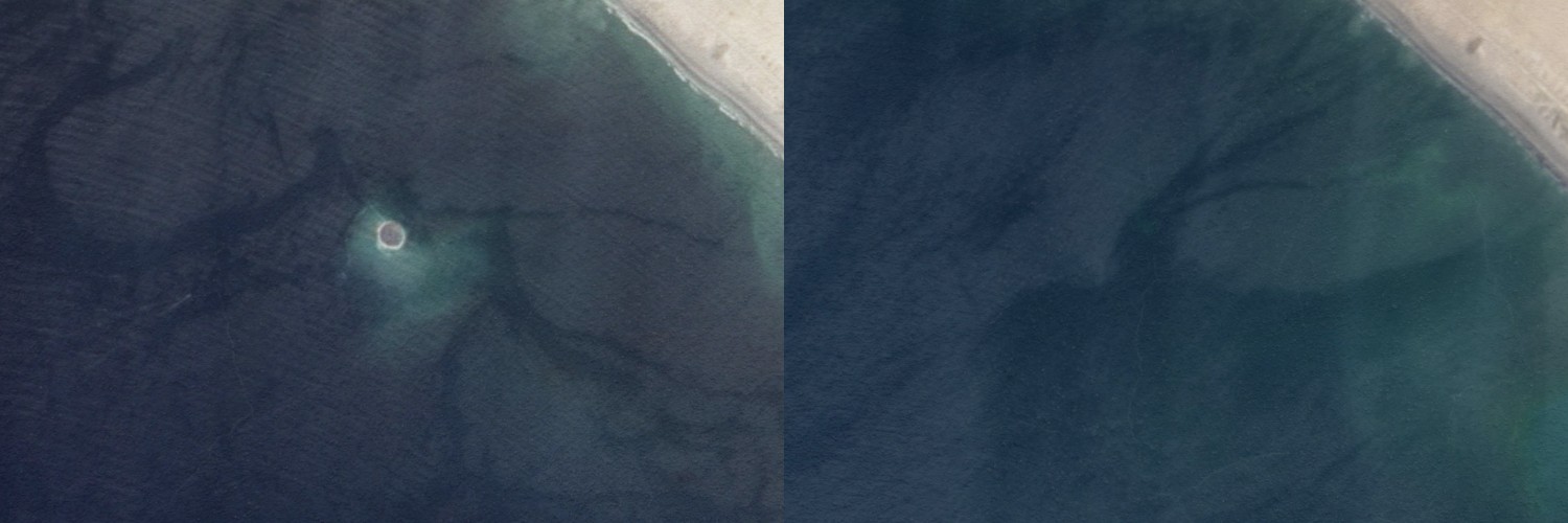
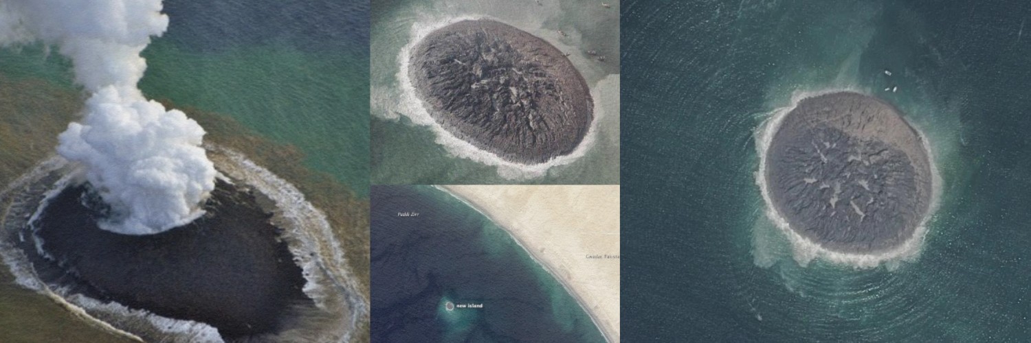
Zalzala Koh, also known as Earthquake Island, popped up near Gwadar after an earthquake erupted on September 24, 2013. However, the island began to go underwater, as anticipated by experts. Satellite pictures showed that it had sunk 3 meters (10 feet) into the sea one month later. By the end of 2016, the island was no longer there; it had vanished entirely from the geographical zone.
Uncovering the Exact Geographic Location
Zalzala Island is located in the Arabian Sea near Gwadar in Balochistan, Pakistan. People in Pakistan could witness this island from the coast. It was around 2 kilometers (1.2 miles) away from the shore. The island was not very tall, only about 15 to 20 meters (50 to 65 feet) high. It was 175.7 meters (576 feet) long, 160.9 meters (528 feet) wide, and a surface area of 22,726 square meters (244.62 square feet), according to measurements from a satellite called Pleiades. However, there were some disagreements about these numbers.
Tracing the Origin of its Formation
Zalzala Koh could have been a mud volcano, like a hill made of mud. It appeared when a big earthquake with a magnitude of 7.7 happened in the same area on September 24, 2013.
Ali Rashid Tabriz, who leads Pakistan’s National Institute of Oceanography, explained that the island came up because methane gas was released from the bottom of the sea.
Conclusion
Zalzala Island felt like a miracle of nature that astonished with its formation, but lived a short life and died after 3 years. It is among the bewitching secrets that the city of Gwadar has observed.